
Open Street Map and Participatory Mapping
 By Kristy Revell, a Software Sustainability Institute Agent.
When OpenStreetMap (OSM) was born in 2004, it was created as "an initiative to create and provide free geographic data, such as street maps, to anyone". Since then, OSM has grown rapidly and been developed by more than 400,000 volunteers.
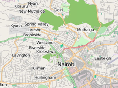
I first became aware of OSM during a workshop in Kibera, an informal settlement in Nairobi. Vast amounts of data are collected on this community by the community, facilitated by the Map Kibera project. This project made me ponder the role of OSM in collecting and disseminating data from the developing world. To better understand this role, I took a few moments to speak with Dr Muki Haklay, Senior Lecturer in GIScience at UCL, London. Dr Haklay has vast experience in participatory mapping with his work stretching to all corners of the UK, from Dorset to London to Newcastle. His research is soon to head overseas, starting in Cameroon.
OSM has an interesting role in engaging communities and enabling them to obtain change, and providing researchers with data. Dr Haklay shares his views on OSM openly with me. He admits that he is a big fan of OSM, but he also describes himself as a critical friend: one who admits that OSM is not without its problems. For example, in terms of representing communities in the UK, one problem is that wealthy areas are mapped to a greater extent than less wealthy areas.
Yet Dr Haklay also asserts that there are groups within the OSM community who have a greater social objective in their use of the platform – such as Map Kibera. These groups use OSM to empower communities. This is not a universal aim of the OSM community: mapping for empowerment and OSM are two different things.
But what of the quality of the data? Dr Haklay says that the quality of the data on OSM can be the same as that from a professional, data-collection service. Interestingly, Dr Haklay does raise a concern about the extent to which the OSM community is male dominated, being in the region of 90% male. This domination means that a lot of data is collected from a male point of view. One must always consider who is collecting the data and why they are collecting it because "data is not neutral". In fact, Dr Haklay warns that "cartography should not be taken at face value, for the map is a social construct".
On this note I draw to a close, I feel assured about the quality of the data but Dr Haklay's words that the “map is a social construct” linger with me. I remain concerned about what he has told me about richer communities being more widely mapped and about the gender divide in mapping. It seems that the data may be accurate but the social context must always be considered by researchers when taking advantage of this rich and readily available data source.
With thanks to Dr Muki Haklay for taking the time to share his thoughts and opinions on OpenStreetMap and participatory mapping.